Let me say it this way: Virginia is long. It holds the most miles of the AT, and stretches just inside the VA border between West Virginia. Although Virginia has some amazing views (Grayson Highlands, the crowns, Shenandoah), each is bookmarked by a long week of what feels like nothing.
We left Pearisburg, VA, with a week of food in our backpacks and a long stretch of trail between us and the next big adventure: the Virginia Crowns.
The crowns are made up of three sights: Dragon’s Tooth, McAfee’s Knob, and Tinker Cliffs. They’re also special for another reason. They’re where little Sparks found her love of wandering, where this whole trip began.
On Tuesday, the weather forecast took a turn. The closer we got to the crowns, the more it looked like rain was going to be covering the entire trip. When we woke up on Thursday, the day we’d reach Dragon’s Tooth and McAfee’s Knob, the sun was still shining but you could see the dark clouds on the horizon.
It became a race: How many of the crowns could we see before we got rained out?
But first: The goats of Peter’s Mountain
This has nothing to do with Virginia’s crowns and absolutely everything to do with the fact that before we reached any of the crowns, we were ambushed by goats.
They nibbled our fingers, licked the salt off our hands, tried chewing on our backpacks, and refused to let us eat our snacks in peace. Apparently, they also like the cork handles of your trekking poles and ran off with a hiker’s poles previously.

They made my day, and I hope their adorable faces make your day, too.
And also, we reached 700 miles!

Dragon’s Tooth
Out of the three crowns, Dragon’s Tooth was the only one I hadn’t done before. I wasn’t quite sure what to expect, except that at some high point on the trail, there would be a large rock jutting upwards.
My main hope was that the rain would hold off long enough for us to have this view in the sunlight, and not be scrambling over slippery rocks in a drizzle.

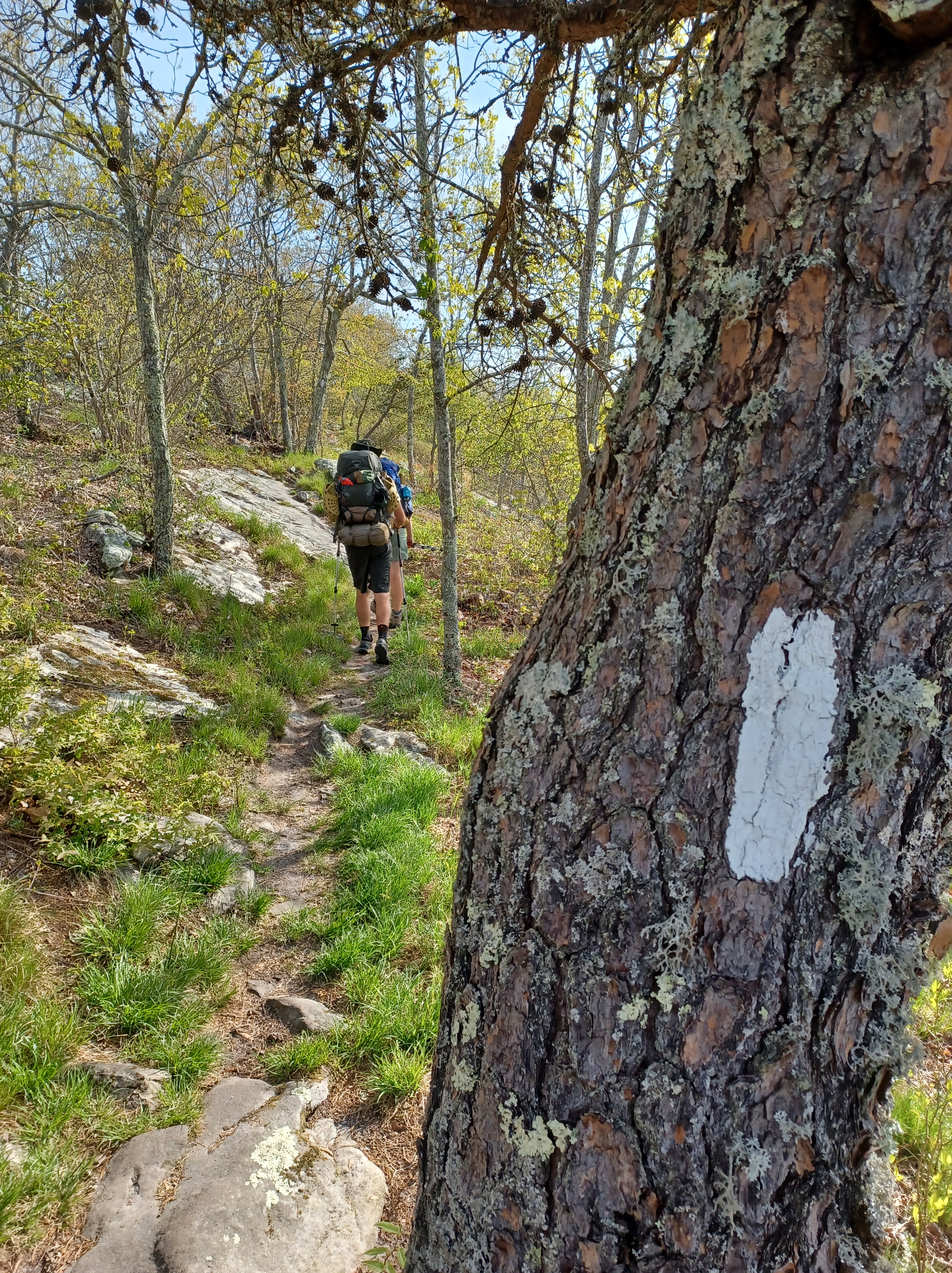
Dragon’s Tooth was magnificent. The rocky structure rose high above the valley, reaching even above the trees. As the leaves have been filling in, we’ve been finding ourselves increasingly in a “green tunnel,” meaning that views can be a bit hard to come by. Dragon’s Tooth made up for it all.
The climb to the top of the rock wasn’t part of the trail, but it’s hard to have such a structure and fight the urge to stand on top.

After Dragon’s Tooth, we followed the path down a rocky ascent, scrambling down boulders and hopping across the rocks. At the bottom of the descent, there was a small gas station selling pizzas and burgers an easy .3 off the trail. We dropped our packs and ordered two pizzas for the three of us. Before you could blink, they were devoured. And the best part? As we came back to the trail, we ran into Sunkist again!
McAfee’s Knob
As soon as we reached VA 311, the road and parking lot for the McAfee’s Knob, everything felt at once familiar. Church Mouse and I paused in the parking lot, sitting on a rock to let the aching ease from our feet. I could see there, against the sign, where Ruthie and Grandma dropped us off so many years ago. There, where we stood and talked to a trail runner. There, where my love of backpacking was first sparked.
The clouds were continuing to darken. We picked ourselves up, crossed the busy road, and began the trek up the mountain.
I followed in the path of a dozen memories, Sparks of different ages plodding up this same path, backpacks of different sizes and weights, different groups of people around me. I could see the spot where we rested once, and found ourselves next to bees. The spot where I’d stopped previously and wondered if this mountain ever ended. The fire road we took one year because we were so exhausted we couldn’t take the trail.
And yet, it was different. It wasn’t the hot, overwhelming climb we’d do under the August sun with the soft legs of flatlanders. It was April, a cool breeze sweeping up the mountain, low clouds blocking out the sun. True, the mountain seemed to never end, but this time it had nothing to do with exhaustion and sore muscles but because my gaze alternated between the darkening sky and the path still stretching ahead.

At one point, Stealth and I were both out of water. We stopped at a small trickle going across the ground and let the water fill our filter bags, before lifting it to our lips and drinking the filtered water right there on the trail. As we did so, two day hikers walked past. I can only imagine what they thought of us. I laughed after they passed. “We’re feral,” I announced. Stealth snorted. “This is much more natural than buying water at a gas station.”
As soon as we stepped foot on McAfee’s Knob, rain began spattering our faces. Quickly we ran out on the rock, took the iconic McAfee’s pictures, and threw our rain coats on. It was still half mile to the shelter and we weren’t sure if there was space for us.

Thankfully, we found the shelter full of friends and with plenty of room. The rain even paused long enough for us to get water at the pipe without getting too soaked. We ate a full dinner and then sprawled out on our mats, ready for a dry night under the rhythmic pattering of rain drops on the metal shelter roof.
Tinker’s Cliffs
It rained all night. Not just a sprinkle, but a steady release of spring rain meant to bring the earth back to life. Another hiker’s camping spot turned into a river and he made a late night escape into the shelter.
When we woke in the morning, it was still raining. Stealth ran out in the rain to get our food and we all sprawled out under the dry shelter roof for breakfast. Finally, everything was packed up and still the drops continued. We sighed resolutely, donned our rain gear, swung up our packs, and stepped out into the dripping rain. Ten minutes later, just a little bit down the trail, the rain stopped.
The trail was a river, the ups and downs of the ridgeline creating rushing creeks and streams as the excess water rolled towards the valley’s river. At Lambert’s Meadow Shelter, where we stopped for a second breakfast, the creek had overflowed it’s banks, hurtling with the force white water. I laughed. In July, I knew the creek would be puddles, and a group of section hikers would come through, hoping for a puddle just big enough for water that day. I knew because that’s been me.

Tinker Cliffs was not the glorious outlook we’d hoped for. The rain clouds were still low and blocked any view we could have had. We stared out into the whiteness, admired the distance down from the cliffs, and then shrugged. Maybe we didn’t get a fantastic view, but it wasn’t raining on us as we hiked, and sometimes that’s enough.
Daleville
The hike into Daleville was exactly what I remember, a ridgeline stretching out forever, climbing and descending little knobs until you’re not sure if the mountain ever slopes down or if Daleville really exists. It’d been a week since restock, we were hungry, and the sweat mixed with raincoats created a smell we couldn’t wait to wash out of our clothes. It was rumored to start raining again as well, and we were hoping to be in the hotel, dry and warm before it did.
Finally, the trail started to slope downwards. The switchbacks led away from the mountain, under the power lines, and towards the ever-increasing roar of the highway.
When we emerged there, a small footpath exiting the woods between a dry cleaner and a gas station, I could see the path leading forward on the other side of the highway. We turned away from it, towards the hotel, but I knew the sight well. How many times had I stood in this same spot, watching the line of traffic passing between me and the unknown? This was the sight that’d brought me to exactly this spot, 730 miles and two months of hiking, this exact sight of the trail continuing on without me.
Tomorrow, I take my first step into this unknown. Tomorrow, I continue with it.
Leave a Reply